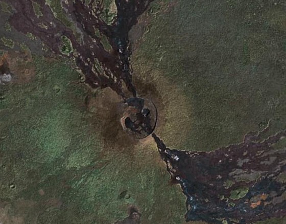
* Astronomy

Members Login
Username 
 
Password 
    Remember Me  
Post Info TOPIC: Nyamulagira volcano


L

Posts: 131433
Date:
RE: Nyamulagira volcano
Permalink  


The Ozone Monitoring Instrument on NASA’s Aura satellite tracked the emission of this gas from the volcano from November 28 to December 4, 2006. In this image, the sulfur dioxide concentrations are shown using a logarithmic color scale, where the values increase exponentially instead of linearly.

Attachments
__________________


L

Posts: 131433
Date:
Permalink  
 

The 2,964 meter high Nyamulagira volcano erupted at 20:00 GMT on Monday near the eastern Congolese town of Goma, which was devastated by a volcanic eruption in July 2002, but this latest eruption is not threatening to the town, but lava flows may affect the surrounding Virunga national park.
Virunga National Park, located in the eastern part of the Democratic Republic of Congo, was created in 1925 and is Africa's first protected area.
Nyamulagira is a shield volcano, that last erupted in 2002, blasting lava 200 metres into the air.
Since 1882, it has erupted more than 40 times. Most of the eruptions flows from fissures on the flanks of the volcano.

Nyamulagira

Latitude: -1.408000° S; Longitude: 29.200000° E

Download (1.56kb, kmz)

__________________
Page 1 of 1  sorted by
Quick Reply

Please log in to post quick replies.


Create your own FREE Forum
Report Abuse
Powered by ActiveBoard